Description
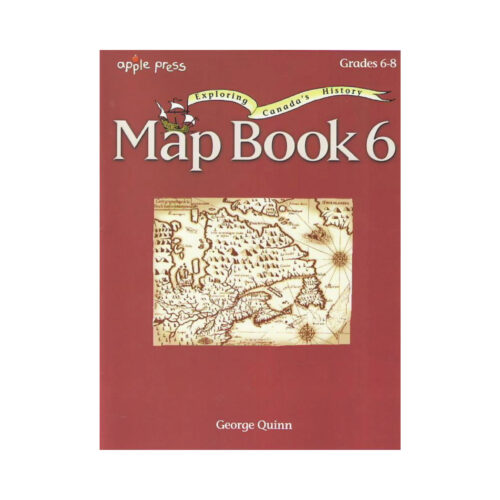
The activities encourage students to inspect a plan of Port Royal, to interpret a survey of a township, and to follow the routes of several legendary explorers who mapped the western and northern interior of Canada.
Comparing maps that record the creation of new provinces and territories also help students to visualize the territorial growth of Canada. These map books will help your students develop map and globe skills as they learn about the geography of Canada.
Each one becomes more challenging so that basic geography skills and concepts are mastered.








Reviews
There are no reviews yet.