Description
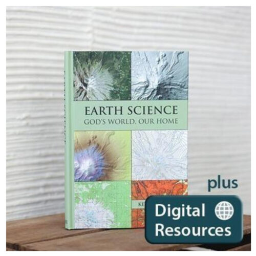
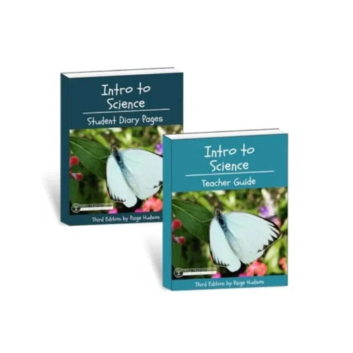
In this downloadable resource, you will find tools for planning the year such as a daily Lesson List and sample semester schedule. Starting about week 2 or 3, the quizzes should be administered weekly. Fall and spring semester exams are included. Weekly Review Guides are another resource to give your students to guide them as they learn to study for a mastery-based course like this one.
Also included are an answer key, a document of recommendations for teaching the book, and an experiment manual in 2 formats (one double-wide for printing out in a booklet and one single-wide for viewing on a computer screen).
These resources are suitable for use with any edition of the text. All supplemental materials are here—no other workbooks or manuals are necessary, making this an economical option. Purchasers have access to the Digital Resources for the lifetime of the product.
Included in the Digital Resources:
- Recommendations for Teaching the Course
- 30 Weekly Review Guides
- 30 Quizzes
- Fall and Spring Semester Exams
- Answer Key
- Lesson List
- Sample Schedule for the year
- Experiment Manual (2-up for printing out as a booklet)
- Experiment Manual (1-up for displaying on a computer screen)
- Experiment Resource – hi-resolution topographic maps, Google Earth files, answers to experiment exercises
- A folder of public domain, hi-resolution graphics relevant to each chapter
- Useful Links – free activities on the internet
List of Experiments
- Interpreting Topographics Maps – examine features of a U.S. Geological Survey topographic map of the Mt. Shasta area, construct topographic profiles
- Identifying Minerals – use luster, hardness, color, streak and other properties to identify mineral samples
- Identifying Rocks – use various tests including visual, break and HCl tests to identify rock types
- Studying Volcanoes with Topo Maps – study features of volcanos in Hawaii, Sitka, Alaska, and Sunset Crater East in Arizona
- Modeling Weathering – model transport of mineral grains using sugar cubes in a container, model chemical weathering when grain size is small, model the effect of temperature on the rate of weathering
- The Stream Table – use a stream table to model stream flow and erosion
- Studying Glaciers with Topo Maps – examine two topographic maps showing landforms created by alpine glaciers, and two showing landforms created by continental ice sheets
- Weather Maps – interpret station models, isobars, fronts, and pressure systems to understand the current weather, and then make a few basic analog weather forecasts
Earth Science: God’s World Our Home Materials List for Lab Experiments
Earth Science: God’s World Our Home Errata
Please note: This digital item is non-refundable.










Reviews
There are no reviews yet.