National Geographic Kids U.S. Atlas

By: National Kids

$17.95

Kids will have fun learning about each and every U.S. state in this amazing 6th edition atlas, packed with maps, stats, facts, and pictures. National Geographic’s world-renowned cartographers have paired up with education experts to create maps of all 50 states, U.S. territories, and Washington, D.C., that pinpoint the physical features, capitals, and other towns and cities.

SKU: 9781426338212 Category: Tags: , ,

Product Description

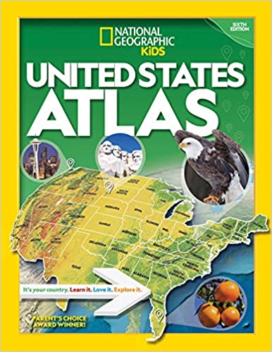
Discover the latest data along with colorful photography of each state and the people who live there. Key points reflect the latest information about land and water, people, and places. Lively essays cover each region of the country. Eight specially themed maps on nature, population, economy, energy, climate, and more delve deeper into key issues. State birds and state flags add to the high visual interest.

This is a great reference for home and school with all the basics kids need to know to succeed in middle school, high school, and beyond.

Additional Information

Weight .8 kg
Dimensions 11.9 × 9.2 × .7 in
ISBN 13

9781426338212

Published Date

2020

Author

National Kids

Publisher

National Geographic Kids

Format

Paperback

Reviews

There are no reviews yet.

Be the first to review “National Geographic Kids U.S. Atlas”

Your email address will not be published. Required fields are marked *

Title

Go to Top