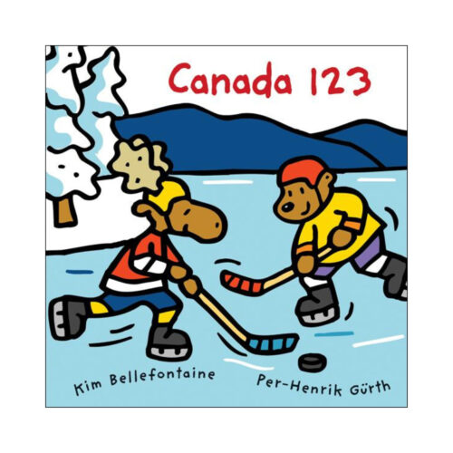
See and count the sights on a colourful tour of Canada from coast to coast. Bold landscapes and an adorable cast of characters are sure to have kids making the trip from one to ten and back again!
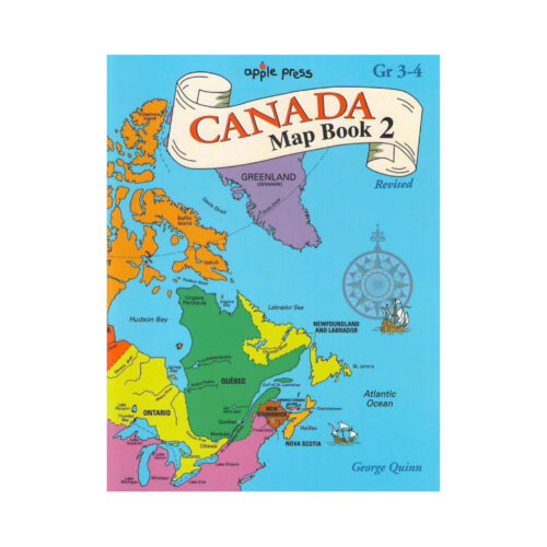
This book covers the ten provinces and territories. There are 4-6 pages devoted to each province. Most of the provinces are drawn to cover two pages. Capitals, provincial flags, floral emblems, animals, mountains, and products are also pictured.
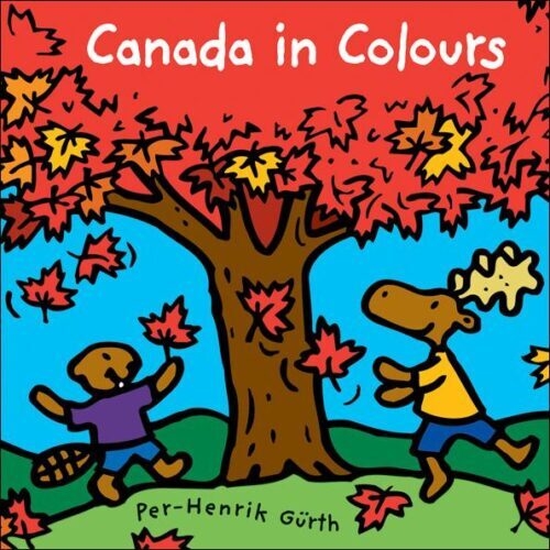
The distinctly Canadian images – white snow, green spruce, red PEI dunes, blue St. Lawrence River, yellow wheat fields – will delight Canadians and tourists alike. Multi-colored northern lights are the perfect end to this eye-pleasing journey.
The distinctly Canadian images – white snow, green spruce, red PEI dunes, blue St. Lawrence River, yellow wheat fields – will delight Canadians and tourists alike. Multi-colored northern lights are the perfect end to this eye-pleasing journey.
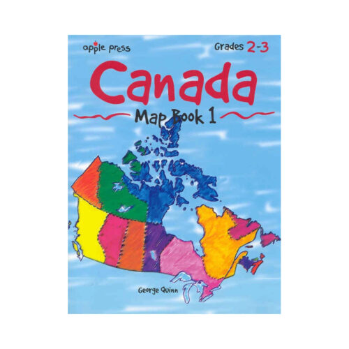
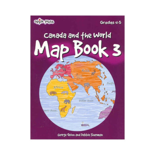
The third in a series of activity books designed to develop map skills, this easy-to-use book introduces grader 4-5 readers to the special language of maps and includes over 40 thoughtful activities.
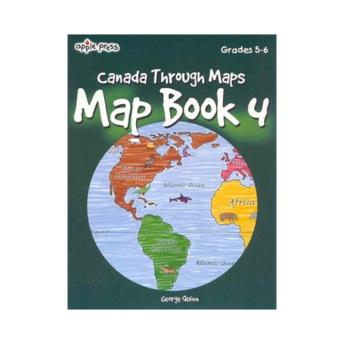
The fourth in a series of popular activity books designed to develop map skills, Map Book 4 contains 40 lively activities to help grades 5-6 readers develop and apply four fundamental map skills: shape, symbols, position and direction and scale.
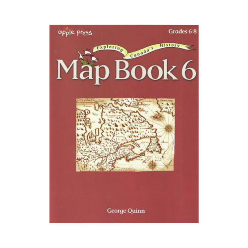
The maps used in this book highlight Canada's exploration and settlement history from the migration of the Frist Peoples to the creation of Canada's newest territory, Nunavut.
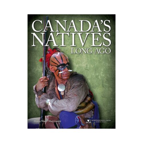
You will love this full curriculum about all the cultural groups of the First Peoples of Canada with Canadian content only.
The chapters on the seven culture groups include lists of living resources, curated videos along with the beautifully illustrated content pages. The idea of a project book is introduced with instructions in each lesson, and downloadable cut-out images to include. Everything is laid out for the teacher.
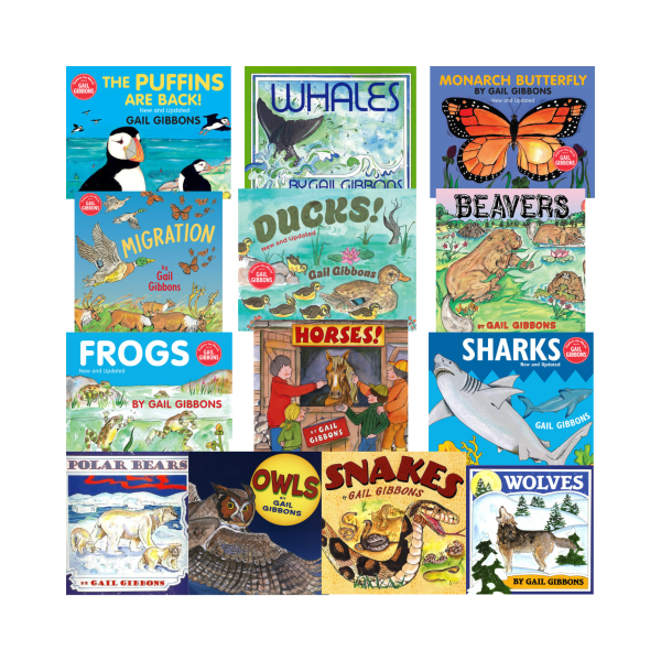
Did you know that Manitoba has the world's largest concentration of snakes? Or many species of sharks live off the Atlantic coastal waters of a number of Canadian provinces?
We've created a picture book bundle of Canadian Animals (and insects, amphibians, fish and birds!), with one Gail Gibbons title for every province or territory.