
-
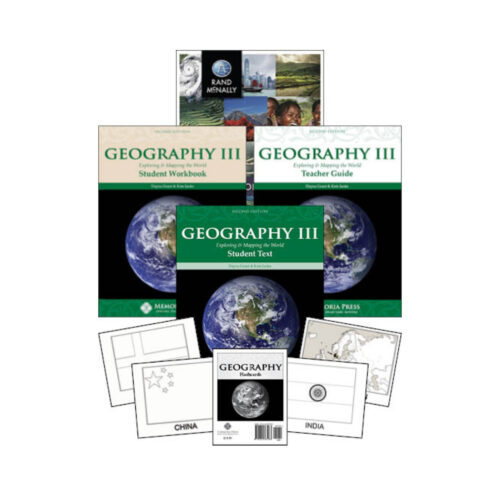
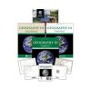 Geography III Set
- Includes:
Geography III: Exploring and Mapping the World - Text (Second Edition) × 1
Geography III: Exploring and Mapping the World - Student Workbook (Second Edition) × 1
Geography III: Exploring and Mapping the World - Teacher Guide (Second Edition) × 1
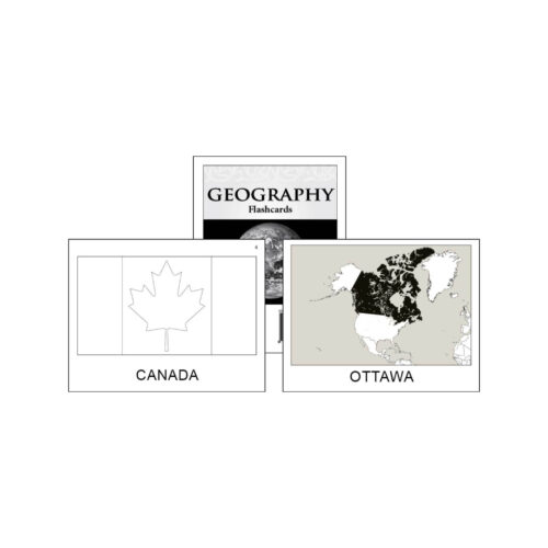
Geography Flashcards × 1
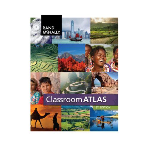
Classroom Atlas (Updated) × 1
Quantity

-0%
Geography III Set
Geography III solidifies the mapping skills learned in Geography I and II, and also requires students to label major landforms and topography.
$124.66
Available in stock
Description
Students will study the climate, recent history, culture, and religion of every continent. This text has many illustrations of famous landmarks, architecture, and people from around the world, and the workbook requires students to practice mapwork weekly.
In addition to labeling maps, students will learn to freehand-draw each continent using the Robinson Map Project. This is a thorough world geography course that is perfect for middle school students before their advanced European and American history courses in high school.
Companion Products
Geography III: Exploring and Mapping the World – Text (Second Edition)
Geography III: Exploring and Mapping the World – Student Workbook (Second Edition)
Geography III: Exploring and Mapping the World – Teacher Guide (Second Edition)
Geography Flashcards
Rand MacNally Classroom Atlas
Additional information
| Published Date | 2015 |
|---|---|
| Author | Dayna Grant, |
| Publisher | Memoria Press |
| Format | Paperback, Cardstock |
| Grade | |
| Subject |
Geography III: Exploring and Mapping the World - Text (Second Edition)
| Weight | .4 kg |
|---|---|
| Dimensions | 11 × 8.5 × .3 in |
| ISBN | 9781615385478 |
| Published Date | 2015 |
| Author | Dayna Grant, |
| Publisher | Memoria Press |
| Format | Paperback |
| Grade | |
| Subject |
Geography III: Exploring and Mapping the World - Student Workbook (Second Edition)
| Weight | .2 kg |
|---|---|
| Dimensions | 11 × 8.5 × .2 in |
| ISBN 13 | 9781615385485 |
| Published date | 2015 |
| Author | Dayna Grant, |
| Publisher | Memoria Press |
| Format | Paperback |
| Grade | |
| Subject |
Geography III: Exploring and Mapping the World - Teacher Guide (Second Edition)
| Weight | .32 kg |
|---|---|
| Dimensions | 11 × 8.5 × .5 in |
| ISBN 13 | 9781615385461 |
| Published date | 2015 |
| Author | Dayna Grant, |
| Publisher | Memoria Press |
| Format | Paperback |
| Grade | |
| Subject |
Geography Flashcards
| Weight | .6 kg |
|---|---|
| Dimensions | 5.5 × 4.3 × 3 in |
| ISBN 13 | 9781615387083 |
| Published date | 2015 |
| Author | Memoria Press |
| Publisher | Memoria Press |
| Format | Cards |
| Grade | 4th Grade, 5th Grade, 6th Grade, 7th Grade, 8th Grade, 9th Grade, 10th Grade |
| Subject |
Classroom Atlas (Updated)
| Weight | .4 kg |
|---|---|
| Dimensions | 10.9 × 8.5 × .5 in |
| ISBN | 0528026593 |
| Published Date | 2019 |
| Author | Rand McNally |
| Publisher | Rand McNally |
| Format | Paperback |
| Grade | |
| Subject |


Reviews
There are no reviews yet